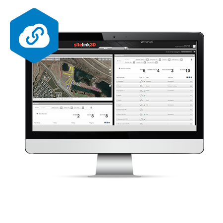
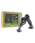
Product Info Get a Demo Turn your machines into a community Can’t get hold of an operator? Don’t know where your machines are located? A sudden change in today’s task assignments? Sitelink3D brings you that connectivity and control. Sitelink3D gives tabular views of project crews, their exact position, activities, files in use, plus a myriad […]
Author Archives: admin
3D MC MAX
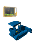
Product Info Get a Demo CONSTANT IN-MOTION CONTROL Redefine the capabilities of your dozer. The 3D-MCMAX system uses MC2+ IMU Inertial Measurement Units (IMU) sensors that enable you to blade faster and smarter, without the need of a mast. The increased response time with our MC2+ IMU’s working together enables you to make tighter turns, […]
G63
Product Info Get a Demo Conquer The Site All of our systems are designed to help you finish faster. From sonics and lasers, to GNSS to the ultimate 3D-MC2, every step allows your machines to run faster, with more flexibility and greater visibility. These three values combine to make the whole job run faster, with […]
X-53i
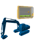
Product Info Get a Demo Conquer The Site This trim 3D excavator system provides you with modern tools when excavating complex slopes or “in the blind.” Every bucket movement made is tracked in real-time, delivering you the information needed to reach grade immediately. The purpose-built X53i system allows you to work independently – the software […]
X-53x
Product Info Get a Demo Improve your Excavating Workflow and Productivity 3D machine control workflows improve the productivity, accuracy and profitability of excavator projects. Productivity improvements of 30% or more are common. Topcon delivers the most advanced and precise GPS positioning technology coupled with advanced sensors, controllers and easy-to-use on-board software. The operator experiences the […]
Delta solution

Product Info Get a Demo Better Understanding and Management of Risk Topcon Delta Solutions consist of Topcon Delta Link, Topcon Delta Log and Topcon Delta Watch. Topcon Delta Link provides hardware support for autonomous operation of total station and environmental sensor data in the field. Communication options include Ethernet, Wi-Fi and a globally approved integrated […]
MS AX II Series
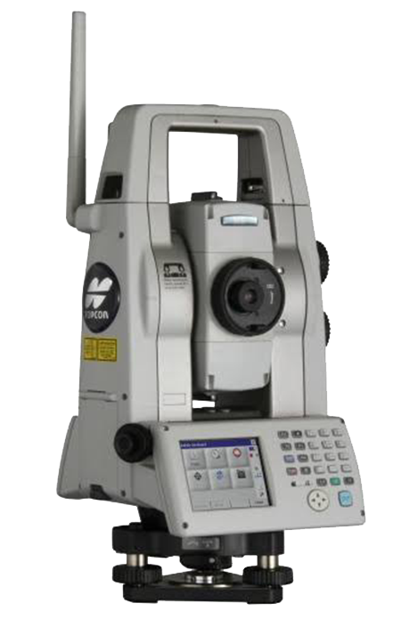
Product Info Specifications Get a Demo For The Ultimate Reliability And Precision When your project demands measurement without compromise, turn to the MS AX motorized total station for guaranteed performance. Angular accuracy option of either 0.5” or 1” Reliable distance accuracy at 0.5 mm Rapid and customizable 2D monitoring Auto-collimation accuracy of 1” Automated Matrix […]
Magnet Collage
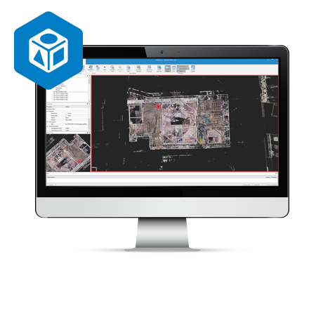
Product Info Get a Demo A 3D software environment to combine data sets from multiple mass data sensors MAGNET Collage provides data processing of otherwise disparate data sets into one 3D environment that can accommodate laser scanner, mobile scanning and mapping, road resurfacing scanners, and photogrammetric point clouds. To further simplify the combination of data, […]
Magnet Collage Web
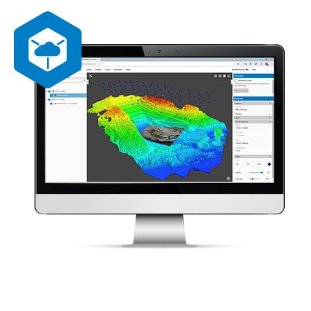
Product Info Get a Demo Collaboration made easy MAGNET Collage Web works seamlessly with MAGNET Collage so you can publish and share your 3D datasets in an easy-to-use, online program Simple access to web-based 3D data, resulting in more productive and better informed work Ultra-fast, web-based point cloud and mesh visualization Excellent browsing experience with […]
IP-S3 HD1
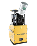
Product Info Get a Demo Compact, High Density 3D Mobile Mapping System The IP-S3 mobile mapping system offers high density, high precision, point clouds combined with high resolution panoramas from a system that is smaller, lighter and easier to handle. IP-S3’s positioning system is an integration of an Inertial Measurement Unit (IMU), GNSS receiver (GPS […]