Right Social Links
Data transfer, processing and adjustments
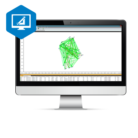
MAGNET Tools streamlines the data-collection workflow for surveyors, contractors, engineers and mapping professionals. The software lets you post-process and adjust field-survey data collected from total station and GNSS equipment. A key component of the MAGNET software workflow, MAGNET Tools provides customizable options such as the ability to visualize field work in Google Earth™ and to directly export the data to 3D CAD software. MAGNET Tools supports a large library of industry-file formats.
- Process field measurements derived from both GNSS and optical total stations
- Visualize field work in Google Earth, 3D orbital view, CAD view and more
- Automatically check errors for efficient processing of field measurements
- Generate and customize field-work reports
- Create and manage descriptive code libraries
- Export directly to Bentley iModel or Autodesk’s AutoCAD Civil 3D software