Right Social Links
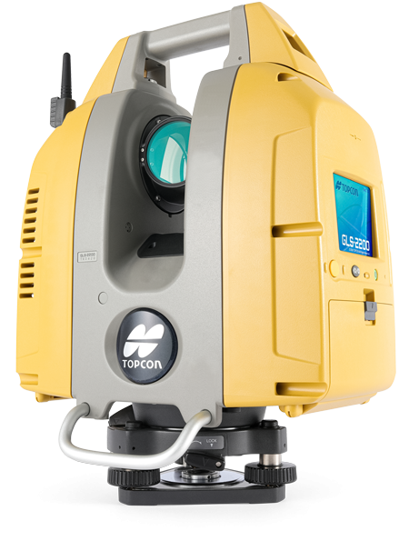
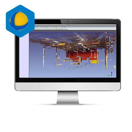
Laser Scanner

GLS-2200 is a full featured scanner that can be effectively deployed to capture existing, as-built conditions for any application range.
The compact, lightweight series of scanners accurately captures a full 360° scan including images.
Terrestrial Laser Scanner

Laser Scanning Total Stations
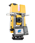
GTL-1000
- Quick layout and scanning with a single instrument
- Instantaneous point cloud registration
- Full dome scan and images in seconds
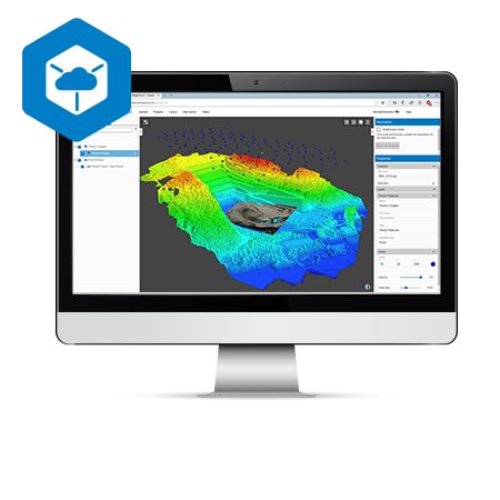
Software
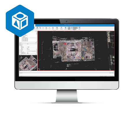
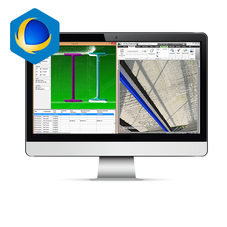
Verity
- Construction verification software with comparation point clouds against design and fabrication models
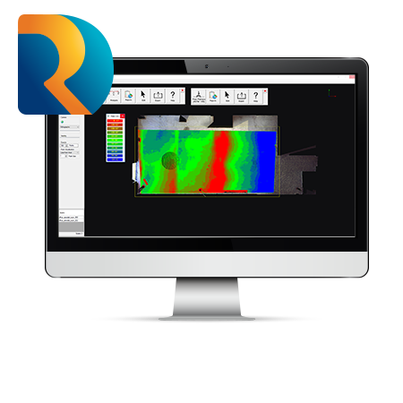
Rithm
- Construction verification software with comparation point clouds against design and fabrication models